Find My Land

SLIDE1
Women Saver Foundation
At Women Saver Foundation, we believe every woman deserves quality healthcare, dignity, and equal opportunities. Our mission is to break barriers and support women’s well-being.
SLIDE1
Zaras 360
We have built a strong reputation for delivering innovative strategies and precise mapping solutions, driven by our commitment to excellence. By understanding each client’s unique challenges, we provide customized social media campaigns and mapping services.
Find My Land - IMG-1
LAND SURVEY
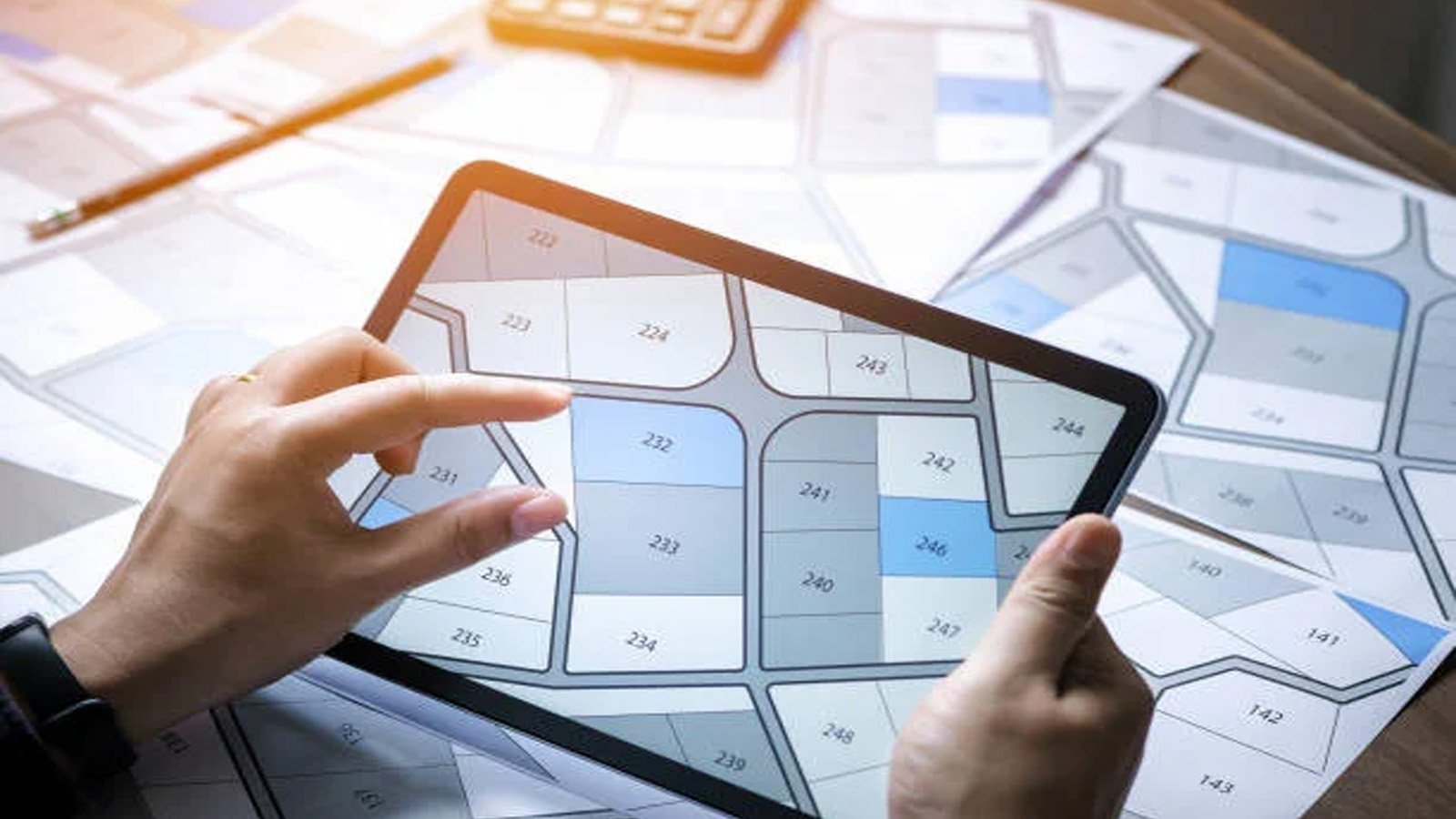
Land Survey involves precise measurement and mapping of terrains to determine boundaries, elevations, and land features. It plays a crucial role in construction, real estate, and infrastructure development, ensuring accuracy and compliance with regulations.
SLIDE1
MAP SERVICE
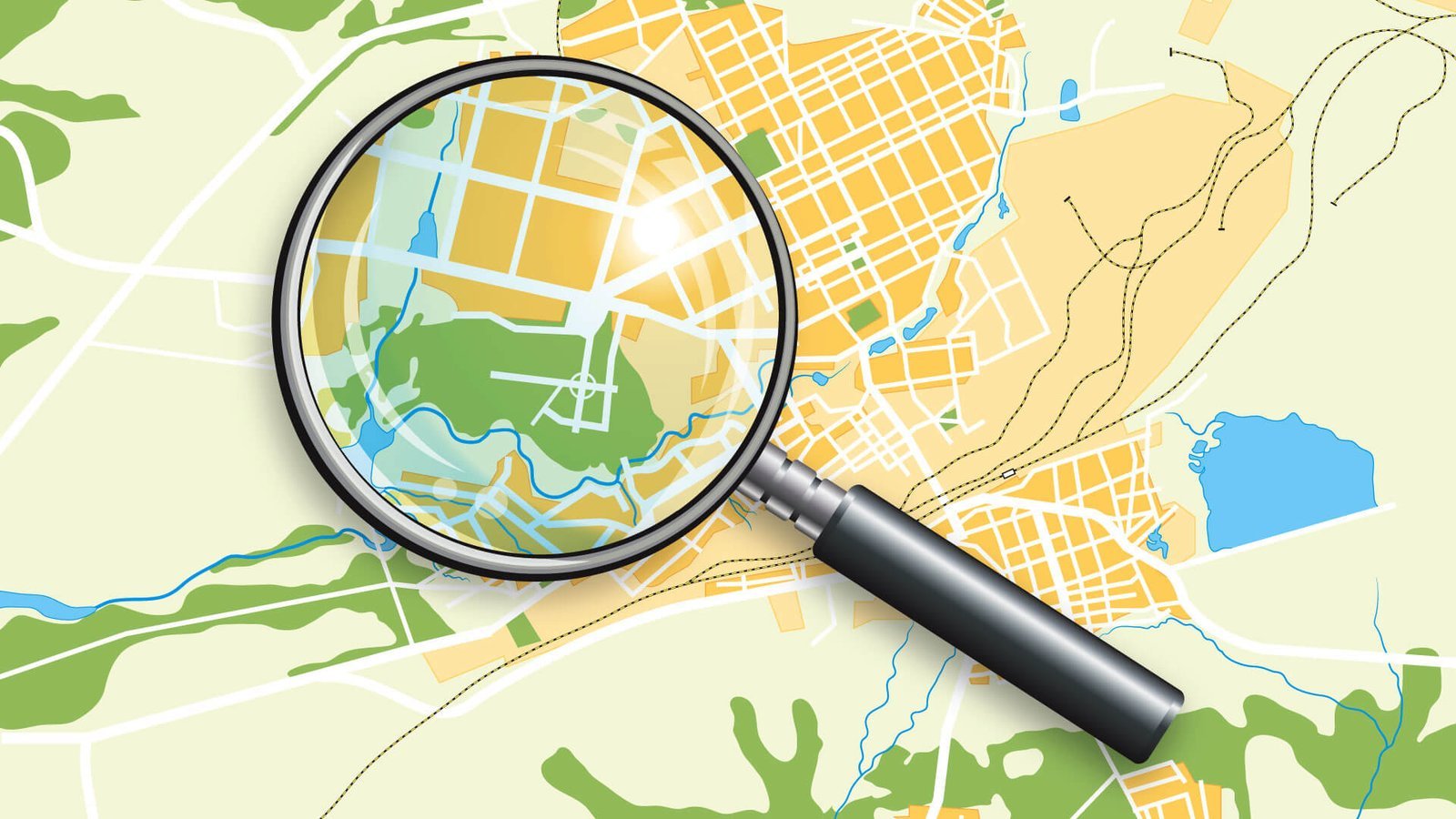
MAP Service offers precise geographic data and visuals for navigation, planning, and land management, aiding accurate decision-making.
SLIDE1
GIS DRONE MAPPING
We provide professional GIS Drone Mapping services, using advanced drone technology to capture high-resolution aerial data. Our solutions ensure precise land analysis, urban planning, and environmental monitoring.
Slide
LAND SURVEY
Land Survey involves precise measurement and mapping of terrains to determine boundaries, elevations, and land features.
Slide
MAP SERVICE
MAP Service offers precise geographic data and visuals for navigation, planning, and land management, aiding accurate decision-making.
Slide
Zaras 360
We have built a strong reputation for delivering innovative strategies and precise mapping solutions, driven by our commitment to excellence.
Slide
Women Saver
At Women Saver Foundation, we believe every woman deserves quality healthcare, dignity, and equal opportunities. Our mission is to break barriers and support women’s well-being.
Slide
GIS DRONE MAPPING
We provide professional GIS Drone Mapping services, using advanced drone technology to capture high-resolution aerial data.

Your Land, Just a Click Away

Find Your Land Instantly

See It on the Map

Discover Your Property

Who We Are

Need a Reliable Land Management System?

Are you searching for a plot of land in Pakistan that isn’t widely advertised or listed on mainstream platforms? Our specialized service helps you discover hidden and off-market plots that match your specific needs.

Find My Land does work for you

Easily locate and verify your land with precision using Find My Land, ensuring accurate data for smarter decisions.

Customized Location Matching

Exclusive Land Sourcing

Find Land Location in Pakistan

Looking for a hidden plot in Pakistan? We specialize in finding exclusive, off-market properties.

Instant 7/12 Survey map

Need immediate access to detailed maps of specific locations in Pakistan? Our instant map service provides.

Free Property Lawyer Advice

Are you navigating a property-related legal issue in Pakistan, and seeking expert guidance? Our free property.

Unlock Land Insights with Ease

Who Is Know Your Land Designed For?

Find Your Land with Precision

Have land documents but unsure of the exact location? Get accurate GPS coordinates to pinpoint your land effortlessly.

Verify Your Land Location

Ensure your land's exact location matches your documents with accurate confirmation and GPS verification.

Access the Latest Land Records

If you're planning to buy land, get the most up-to-date property details before making a decision. If you've already purchased land, verify the latest records to ensure accuracy and legal clarity.

Expert Support for Your Engineering Projects

Get accurate land details for transmission lines, cellular towers, pipelines, and new road developments to ensure seamless project planning and execution.

Customized Solutions

Solution Oriented Approach

Our Honest Reviews

What People Says About Us

FindMyLand helped me secure an off-market plot in a prime location that I wouldn’t have found anywhere else. Their expertise and guidance made the process seamless!

Ali Raza Real Estate Investor

The GIS mapping and drone services provided by FindMyLand were incredibly accurate and insightful. Their data-driven approach helped us make better planning decisions.

Sarah Khan Urban Planner

As a developer, finding the right land is crucial. FindMyLand delivered exactly what I needed—an exclusive plot with excellent investment potential. Highly recommended!

Bilal Ahmed Property Developer

I was impressed by the team’s knowledge and professionalism. Their mapping and consultation services provided me with the confidence to make an informed land purchase.

Bilal Ahmed Land Consultant

I needed farmland with specific soil conditions, and FindMyLand used GIS technology to locate the perfect plot for my needs. Their precision and service were outstanding!

Kamran Malik Agricultural Landowner

I was looking for commercial land for my new venture, and FindMyLand found me the perfect location. Their negotiation support and insights made all the difference!

Zain Abbas Business Owner

Who We Serve

Our Valued Clients

FAQ's

Mostly Asked Question

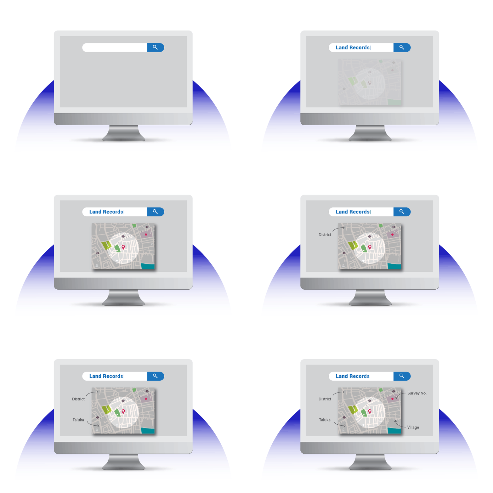
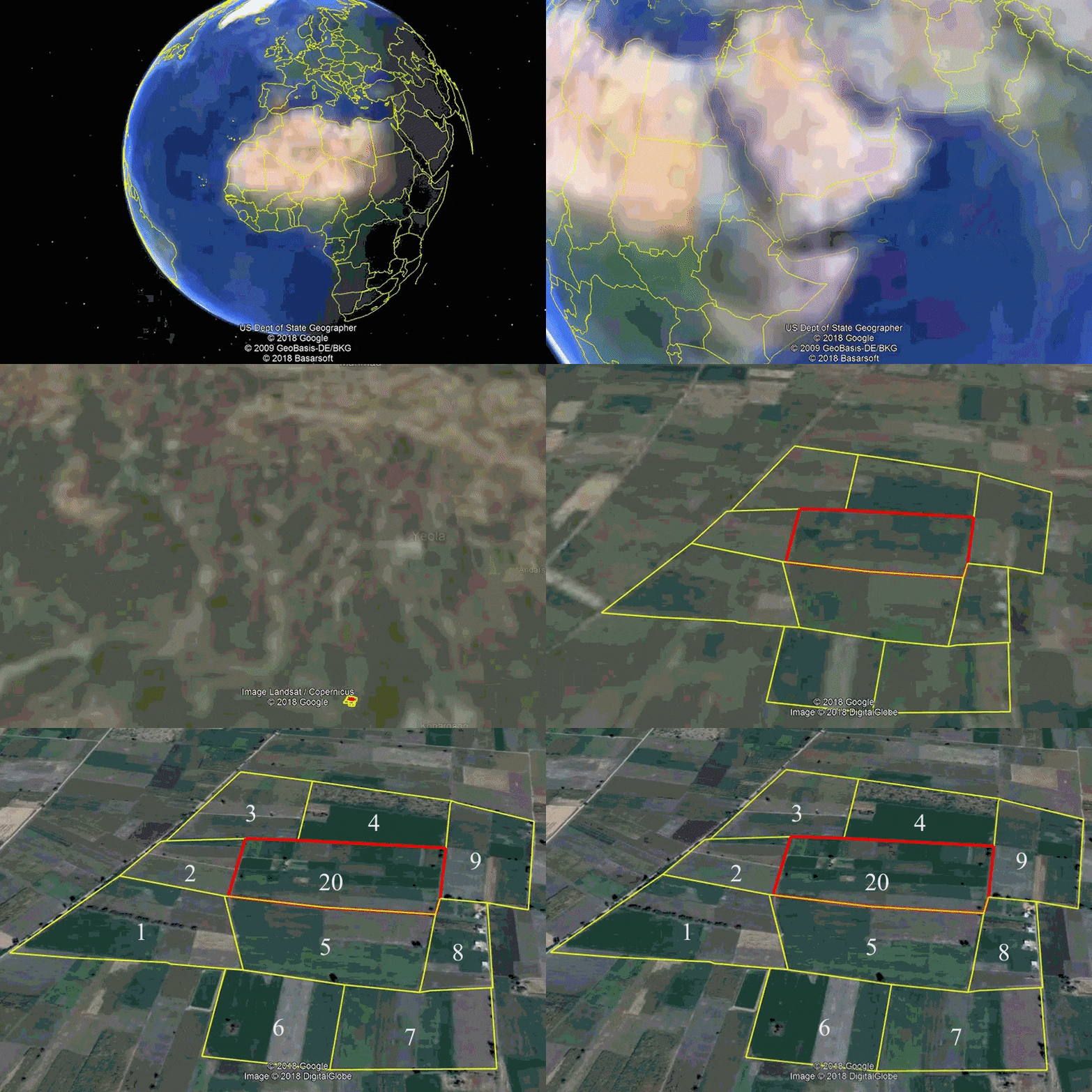
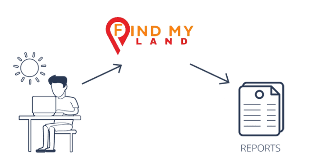
Find My Land is an online Private Company where Survey numbers & Deh(Village) maps are superimposed on Google maps and provided in a report format.

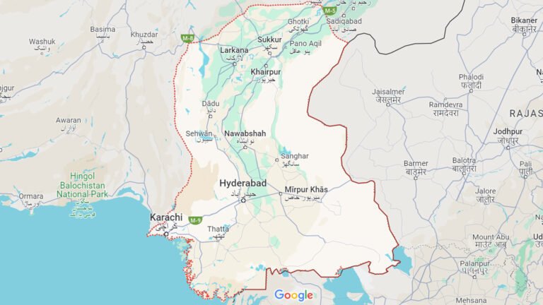
All districts of Sindh and Few Districts of Punjab.

Click here to know more how to user Find My Land please contact support.

In the report you get information of a particular Survey/Kasra no Map of the Deh/Village in a Taluka of a District.

The 7a/7b information is available at an additional cost which will be provided along with the report. Please Note: The source of this information is the Government’s official website.

Yes, the Village map/Naksha’s are available with boundaries only for a particular survey no along with adjoining survey nos.

No, Hissa number details are not available in the report.

The tolerance limit of the boundaries is 5% to the actual boundary.

In the report, you will get information about a particular District, Taluka, Village and survey no map superimposed on google map along with the adjoining surveys numbers of that particular area.
Geographical Information such as Latitude and Longitude, Land Elevation information will be available in the report along with nearby locations such as road networks and water bodies.

Our Latest Insights

Our Blogs